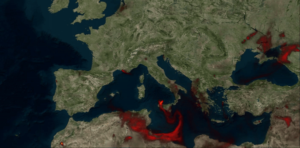
(1) Particulate Matter (PM) 10 from wildfires only (Data source: CAMS/ECMWF)

(2) Wind speed (Hurricane Michael) (Data source: ERA-5 reanalysis from C3S/ECMWF)
Learn how to leverage QGIS, an open-source Geographic Information System (GIS) software, to handle and visualise multi-dimensional meteorological data. This course is taught in partnership with Lutra Consulting, the leading QGIS development and consulting company.
Recent developments in QGIS allow for an efficient handling of multi-dimensional meteorological data and supports the import of meteorological data formats.
This 2-day online workshop will give you key knowledge and practical skills to create impactful visualisations of meteorological data.
Designed for practitioners with basic GIS experience and no coding background, all are welcome to this course. Plus, workshop participants can obtain an official QGIS certificate!
Register by 10 October 2024 and benefit from our early bird pricing!
Our courses set a new standard for Earth Observation and geospatial data training:
Through partnerships with leading data and technology organisations, we ensure that our courses teach the latest technologies and recommended best practices.
Through learning with real-world examples, you build up relevant knowledge and skills that can directly be applied in your projects.
We provide you a systematic, independent overview of Earth Observation data, applications and technologies.
Are you a company or organisation interested in group training? Special group pricing is available.
Contact us regarding group training for larger numbers of participants.
Subscribe to our monthly geospatial skill signal – with practical tools, workflows, and insights.
© 2026 thriveGEO GmbH | Imprint | Data Privacy