


Accessible concepts
The great added value of this course is to present concepts in an accessible way and to illustrate these various concepts and technologies through practical application.
A tailored hybrid training programme helped CNES build confidence, a shared technical language, and new momentum for cloud-native geospatial adoption across a cross-functional team.
Chat with us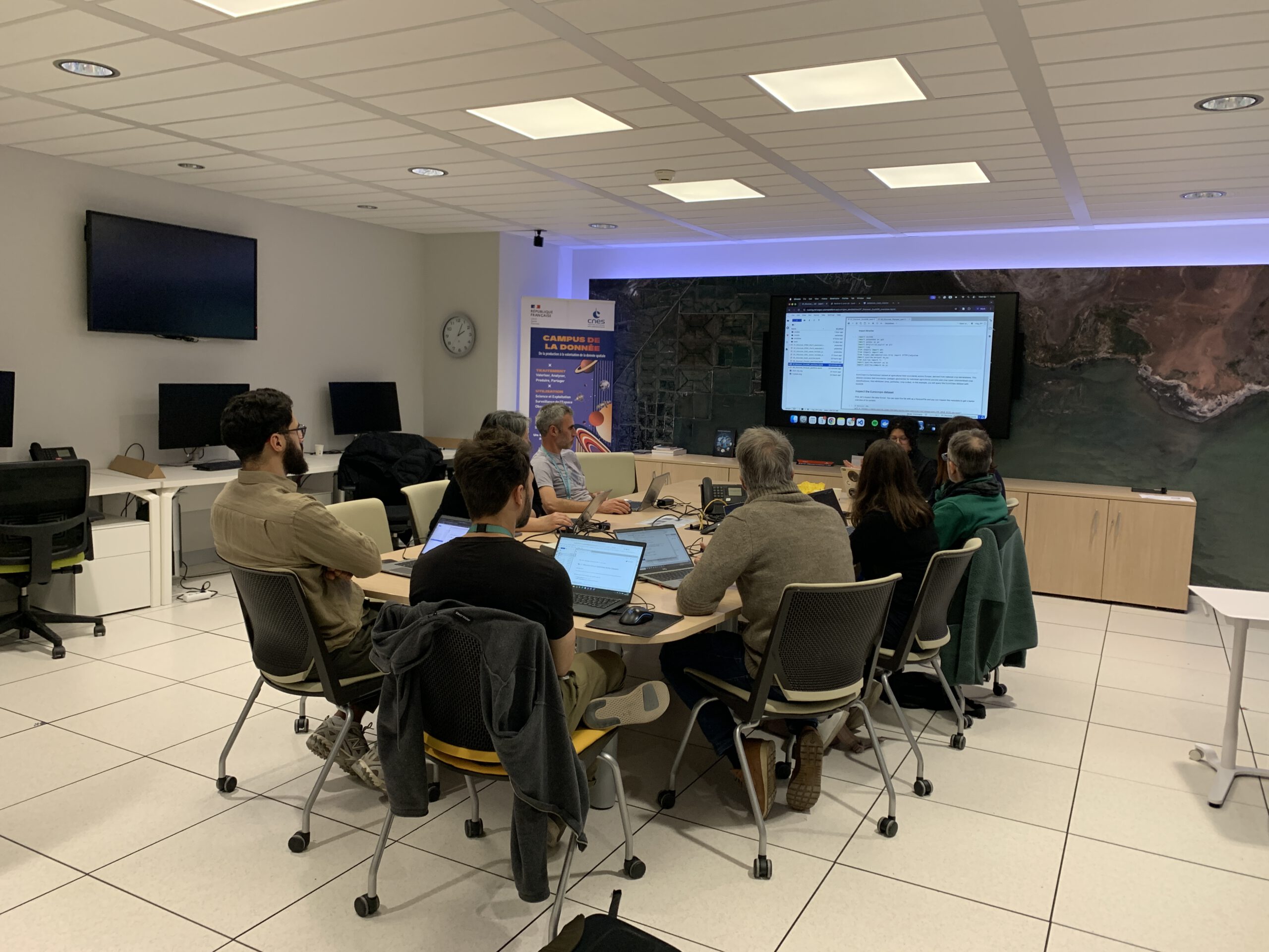
The Challenge
CNES wanted to move beyond isolated pockets of expertise and create a shared language and shared confidence across a much broader team.
Client: Centre National d'Études Spatiales (CNES)
CNES is one of Europe’s foremost space agencies and a major provider of satellite and Earth observation data.
Why this mattered
By tailoring the sessions to the team’s specific needs, the programme helped turn cloud-native knowledge into practical operational capability, strengthening CNES’s ability to share data and algorithmic expertise in a more standardised and accessible way for the wider EO community.
At a broader level, this training represents a significant step forward for CNES in the field of EO downstream applications. It strengthens our capacity to share both our data and algorithmic expertise in a more standardized and accessible manner, for the benefit of the wider community.
As the geospatial industry shifts toward cloud-native architectures, CNES recognised a critical organisational challenge: while a handful of team members were already experimenting with cloud-native geospatial tools, the broader team was working from very different starting points.
The cross-functional group spanned satellite image processing, DevOps, ground segment operations, EO algorithm development, and scientific applications. The aim was not simply to train a few individuals, but to create common understanding across the whole team, enabling richer technical discussions, unlocking new ideas, and strengthening collaboration around future infrastructure choices.
The Solution
thriveGEO began with a training needs assessment, then designed a hybrid experience that combined self-paced learning, instructor-led practice, and a final capstone project rooted in participants’ real-world work.
The programme began with an online survey and semi-structured interviews to understand the team’s knowledge gaps, practical priorities, and learning goals.
These insights shaped a tailored curriculum focused on the concepts, tools, and cloud-native workflows most relevant to CNES’s EO data activities.
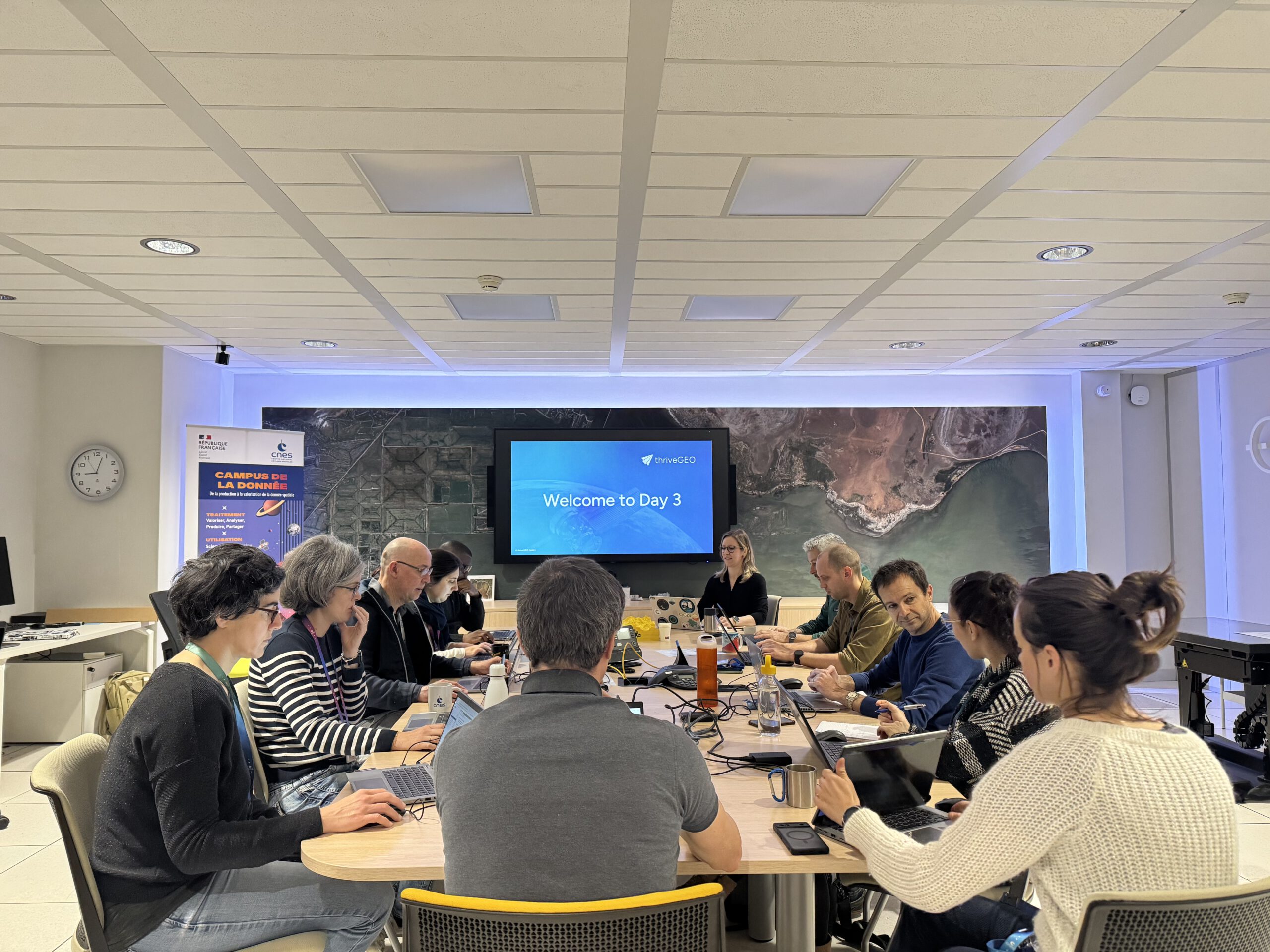
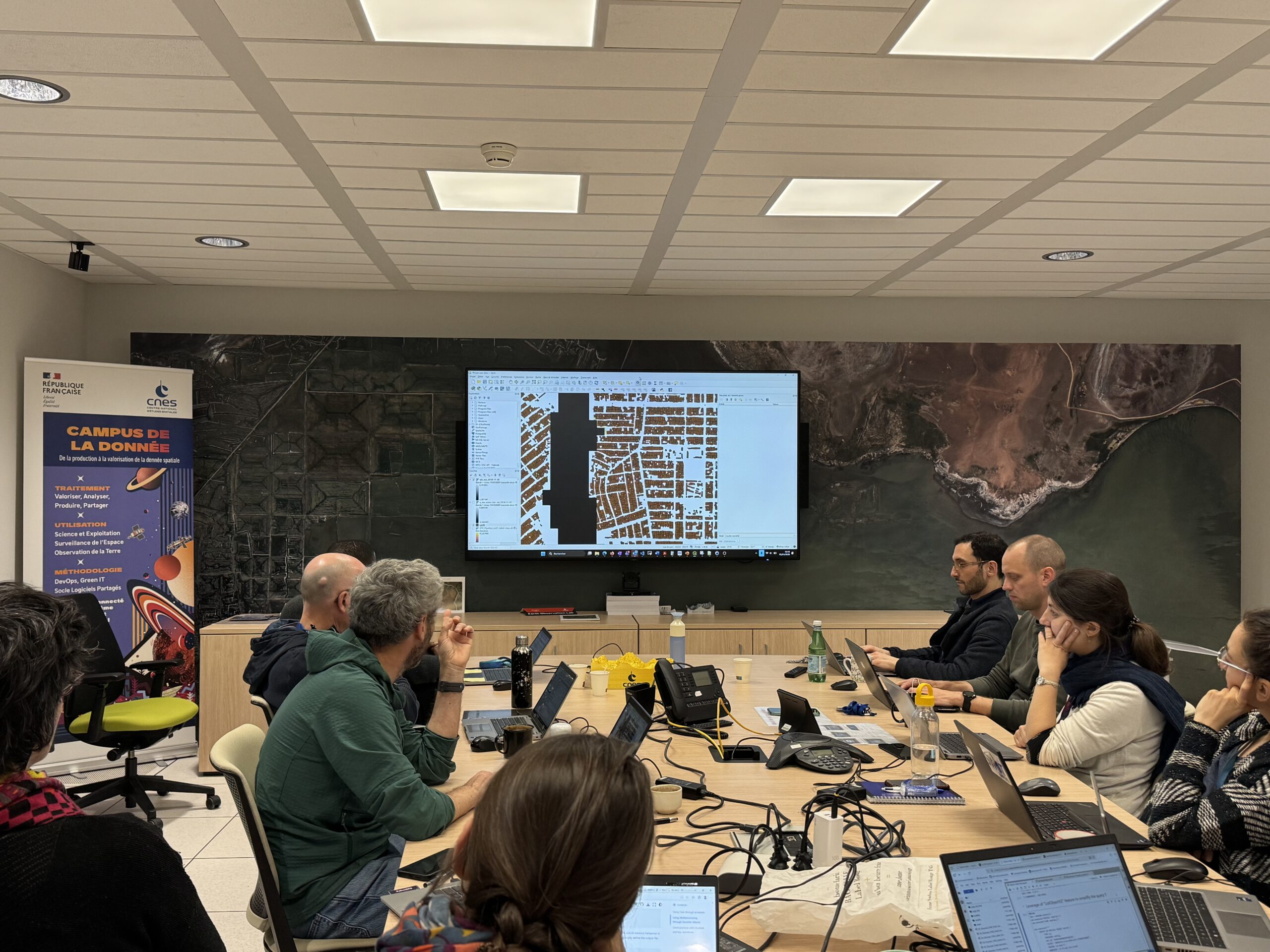
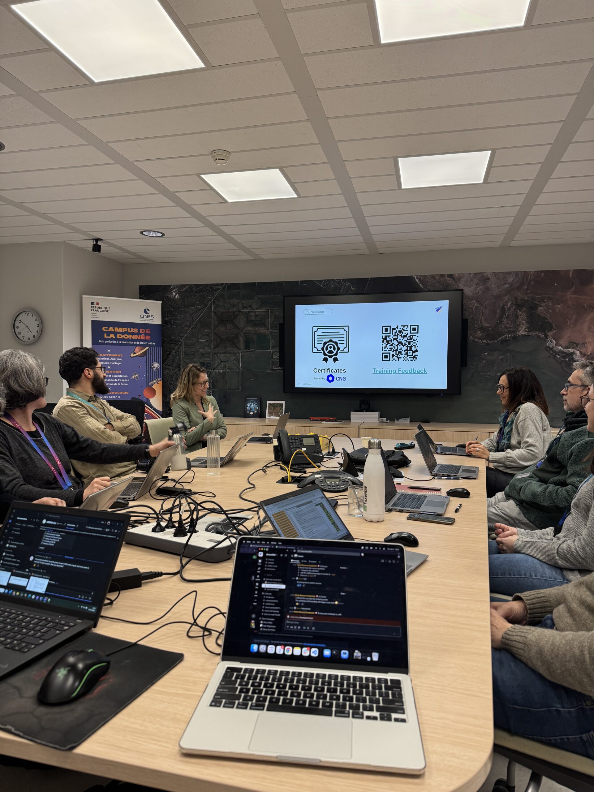
Participants received self-paced online modules 1.5 weeks ahead of four days of instructor-led, in-person sessions built around Jupyter notebooks and real-world geospatial datasets.
The programme concluded with a capstone project where each participant applied their learning directly to their own work context, turning new knowledge into practical operational capability.
BUSINESS Impact
By bringing an entire cross-functional team to a common level of cloud-native geospatial literacy, CNES gained the organisational conditions needed to move faster and more collaboratively in its infrastructure transition.
Specialists across satellite processing, DevOps, and scientific applications can now engage in informed discussions about cloud-native architecture choices.
The team is better equipped to identify and apply cloud-native approaches to real CNES workflows.
Participants emerged with concrete ideas for optimising existing data pipelines and ground segment operations using tools like xarray, Dask, and DuckDB.
The hybrid format – self-paced modules, in-person instruction, and a capstone project – can be adapted for future cohorts as the transition continues.