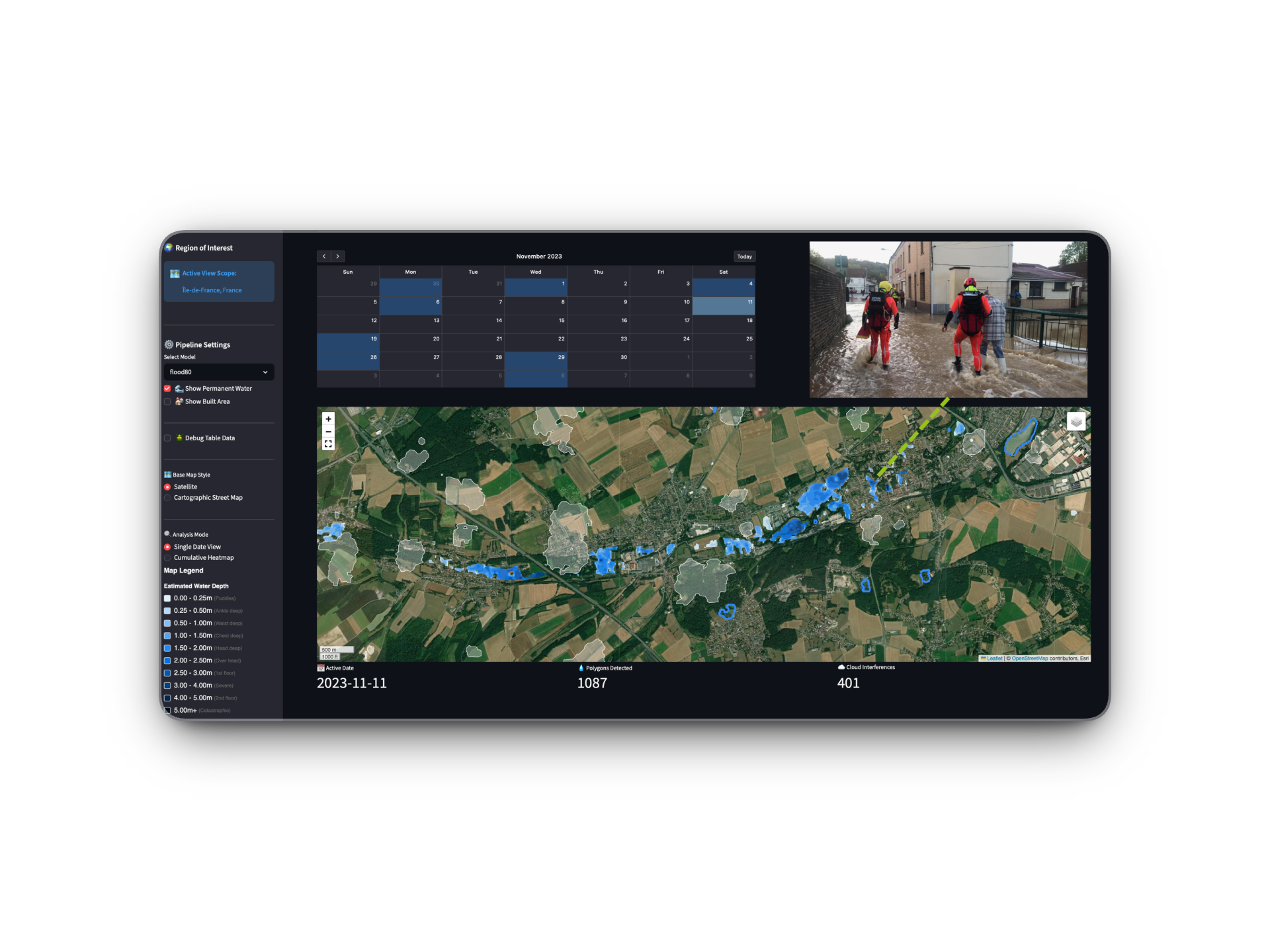

Aspia Space
ManyWorlds
Trustworthy, data-driven probabilistic scenario planning to improve climate resilience.
Amazon Web Services (AWS) and thriveGEO hosted the EMEA edition of the Generative AI for Geospatial Challenge.
The challenge brought together innovators, industry leaders and cloud resources to explore what is possible when generative AI, geospatial data and cloud technology come together. Fourteen winning teams developed solutions addressing challenges across climate resilience, infrastructure, data, ecosystems and decision support.
The full challenge report and four-part podcast series have now been released, sharing the projects, outcomes and lessons from across the cohort
Sign up to receive the GenAI for Geospatial Challenge – EMEA Edition report, featuring the 14 winning teams, key outcomes from the challenge, and lessons emerging across generative AI, cloud infrastructure and geospatial innovation.
The GenAI for Geospatial Challenge supported teams across the EMEA region as they explored how generative AI, cloud infrastructure and geospatial data can be applied to real-world problems.
ManyWorlds
Trustworthy, data-driven probabilistic scenario planning to improve climate resilience.
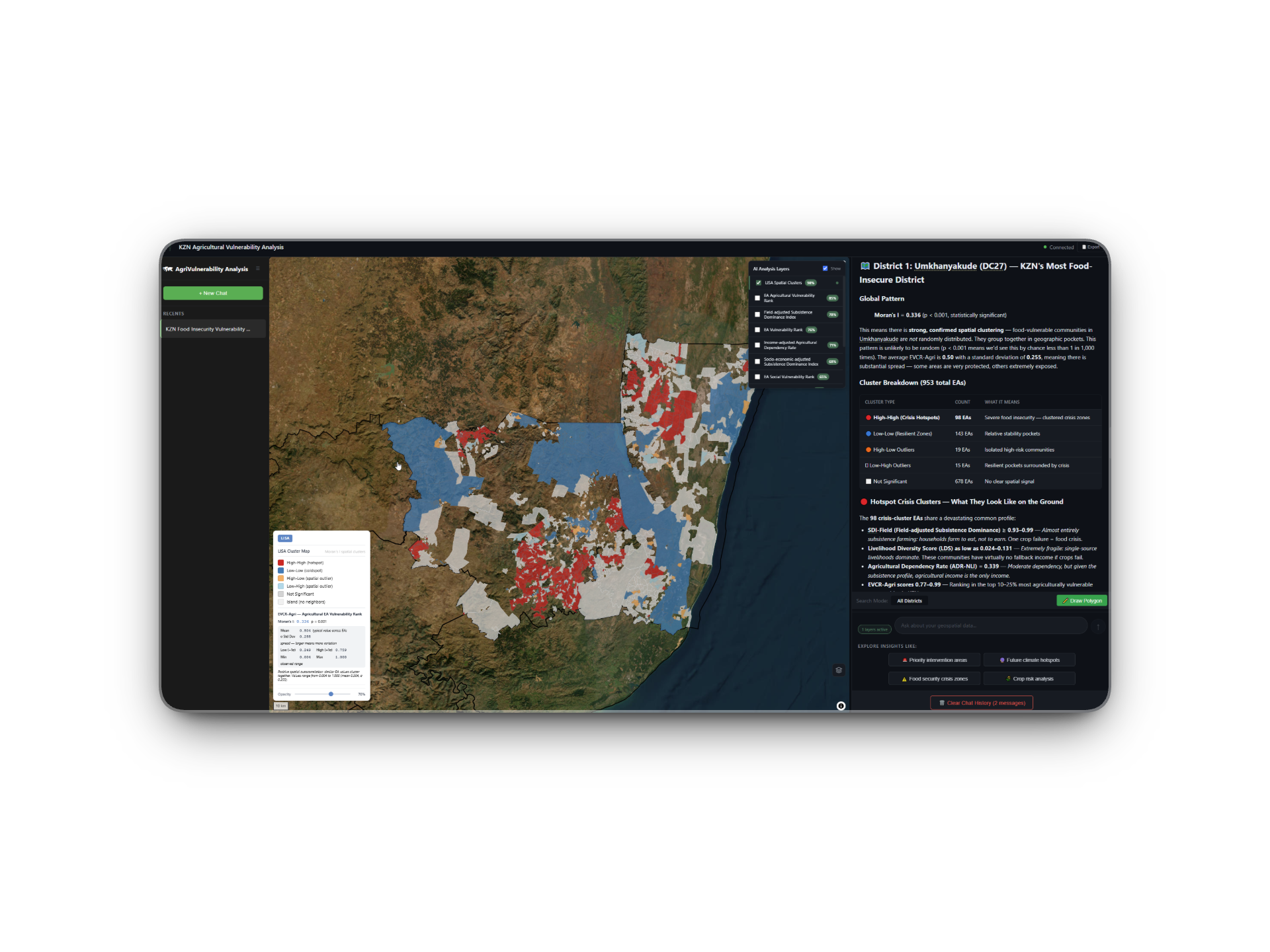
GeoChat Analytics
A climate resilience assistant for KwaZulu-Natal.
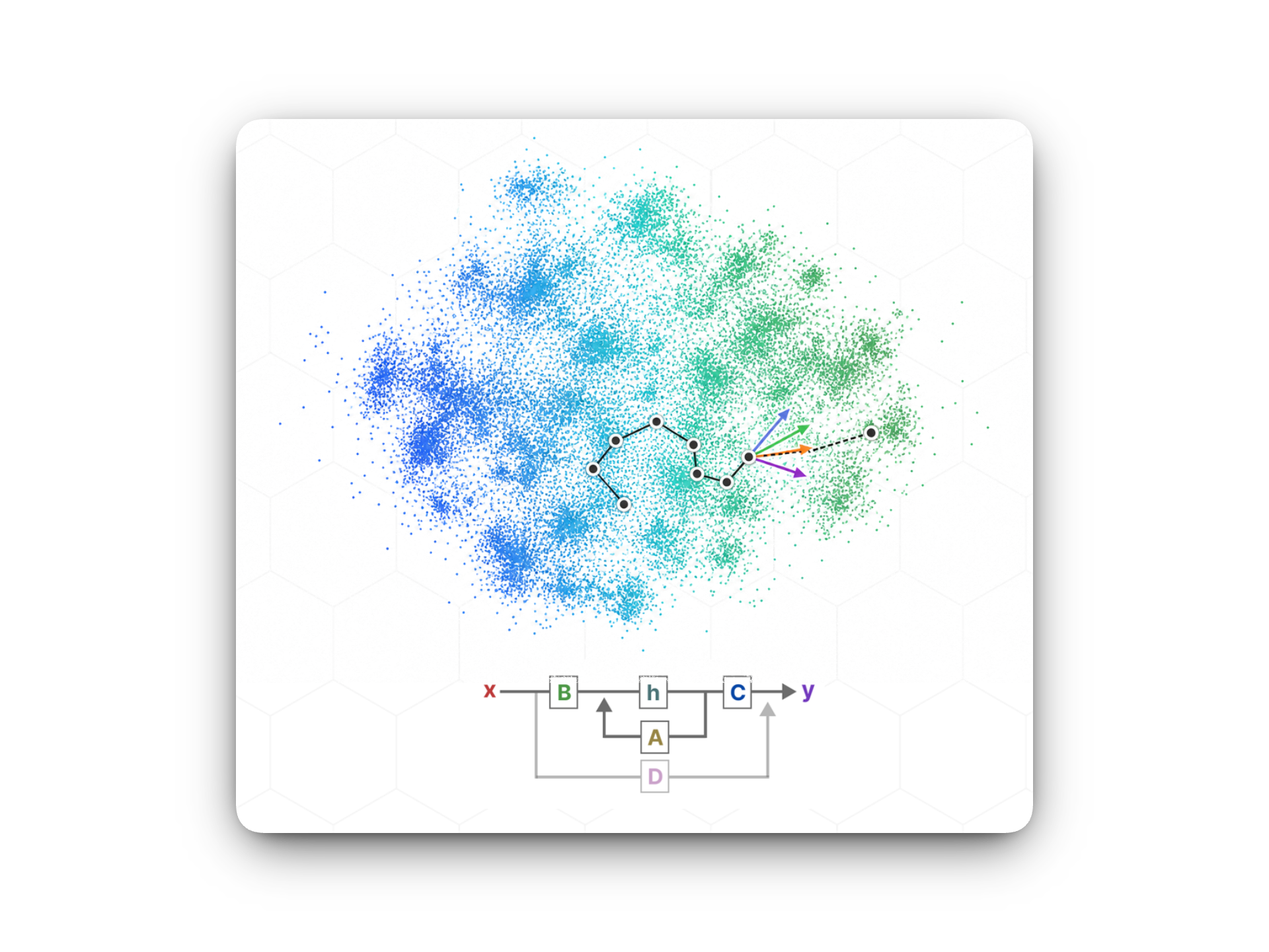
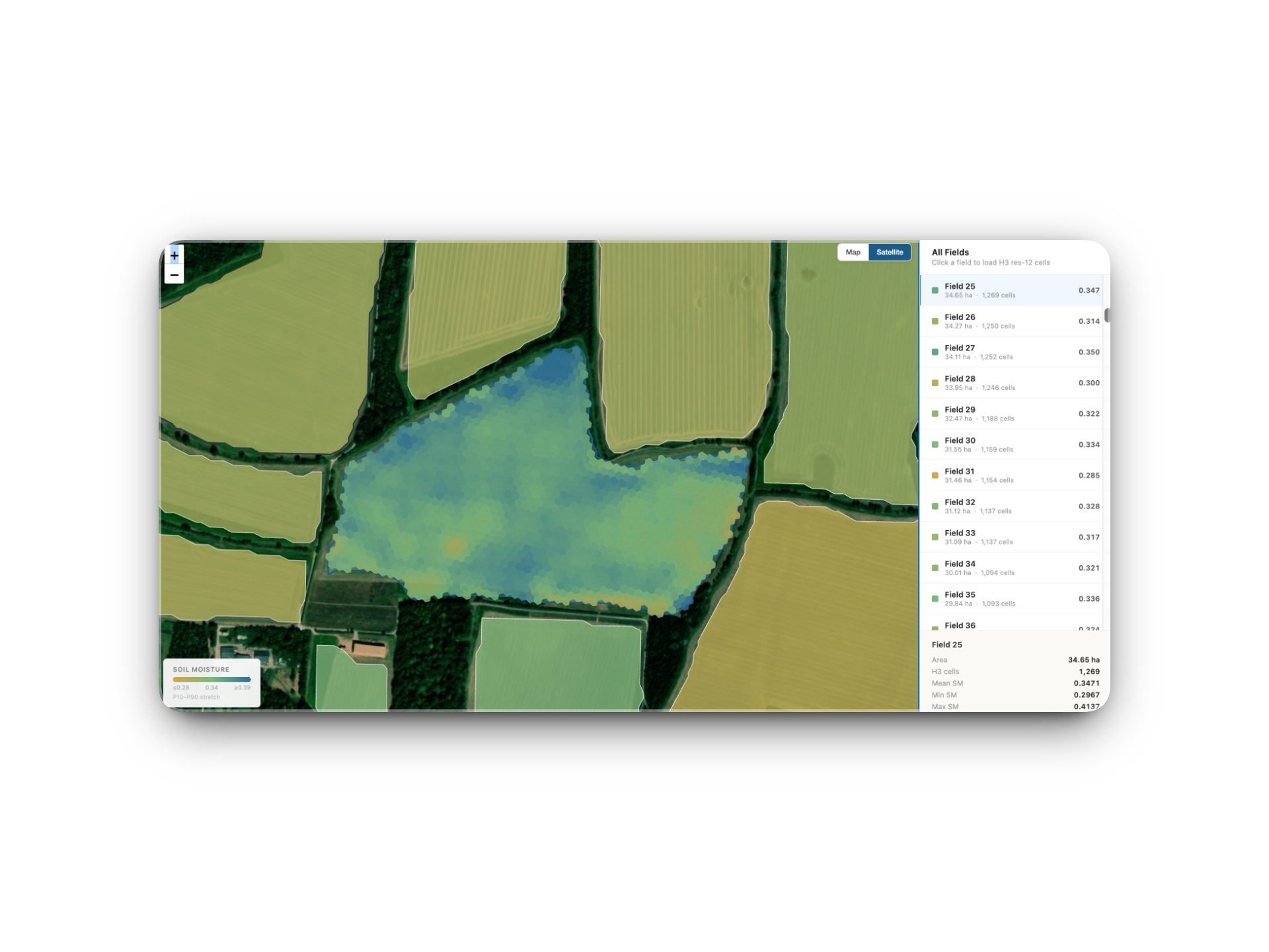
Ecosystem Service Forecasting
Forecasting ecosystem service risk with geospatial foundation models.
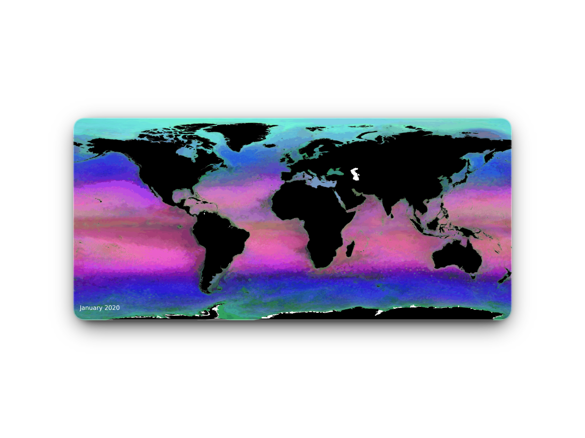
DARWIN & SeaLense
A marine geospatial foundation model and an agentic interface for offshore-wind consenting.
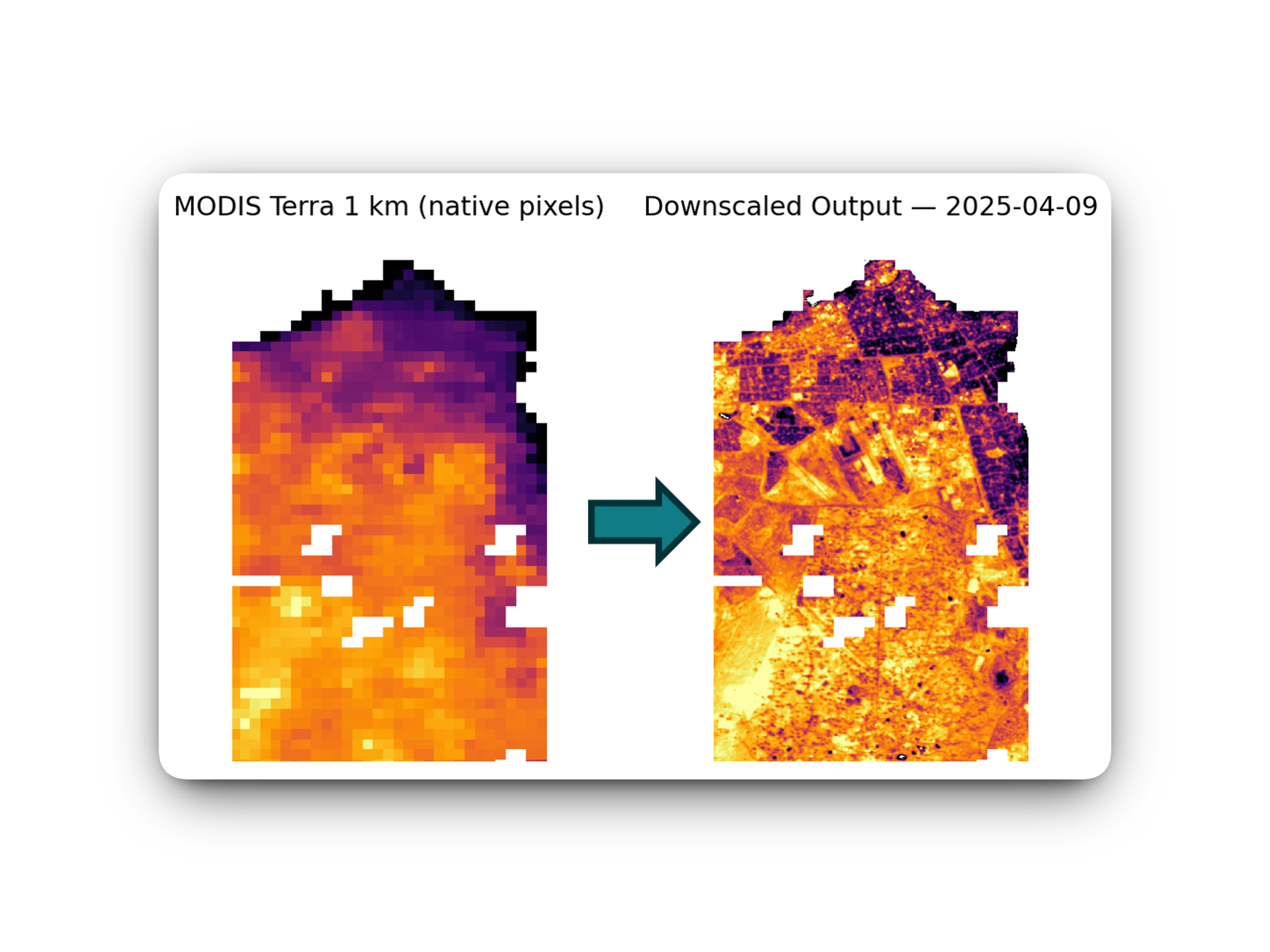
Temperature Spatiotemporal Downscaling
Neighbourhood-scale urban heat intelligence pipeline.
AURA
An agent-driven Earth observation platform for site-level risk assessment.
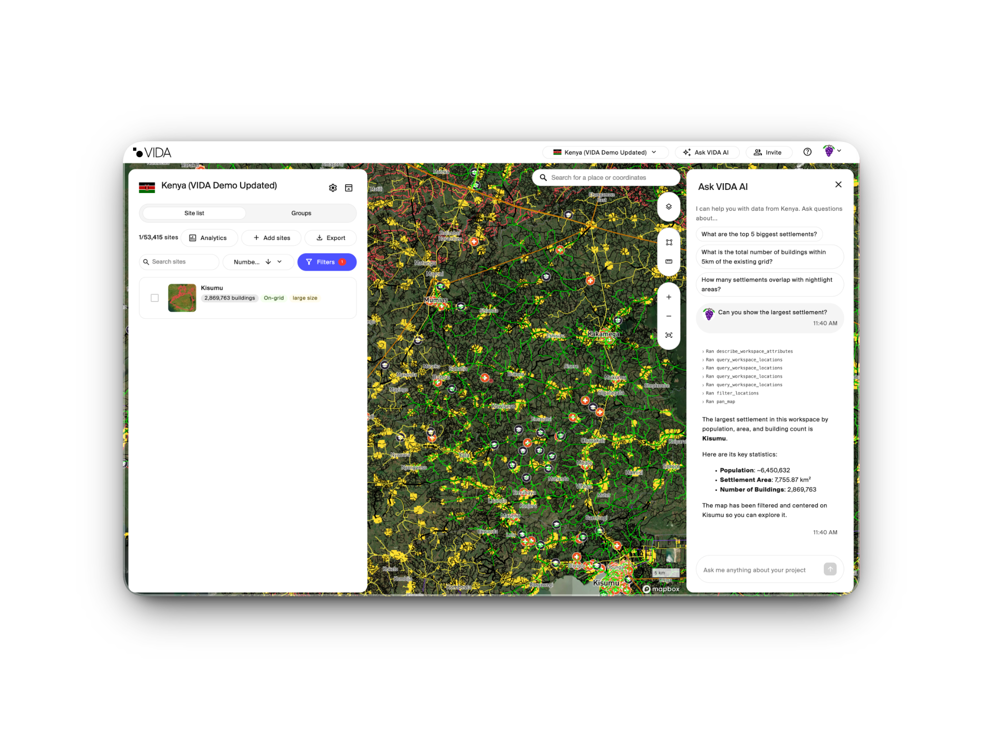
VIDA Agent
An agentic interface for infrastructure analytics.
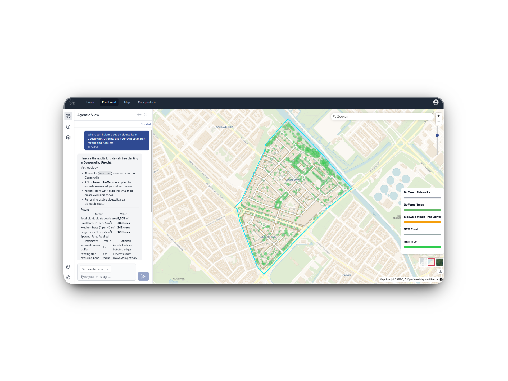
VISTA Agentic AI
An agentic geospatial AI platform for evidence-based spatial decision-making.
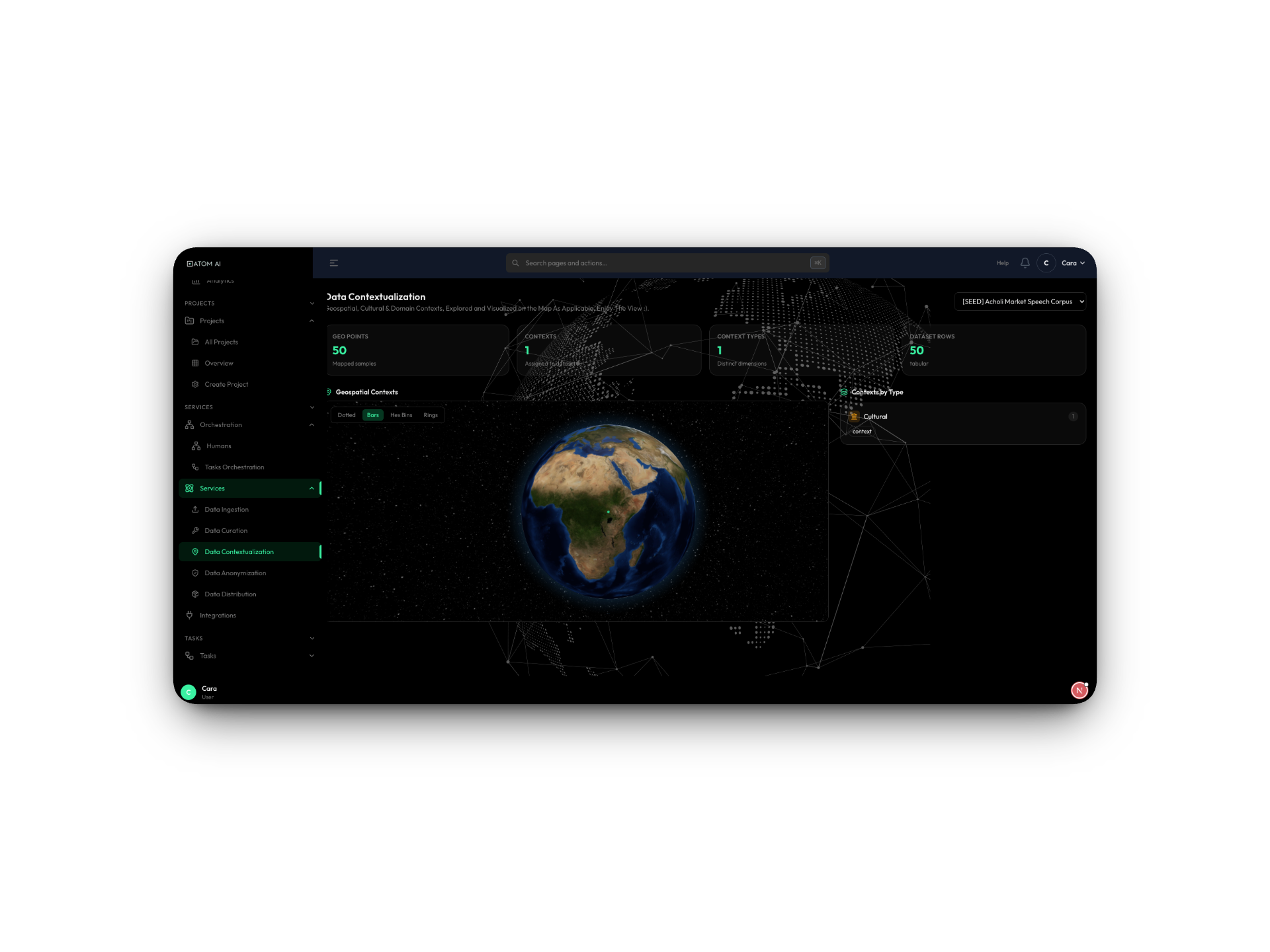
ATOM AI Platform
A contextual AI data platform for geospatial and multimodal intelligence.
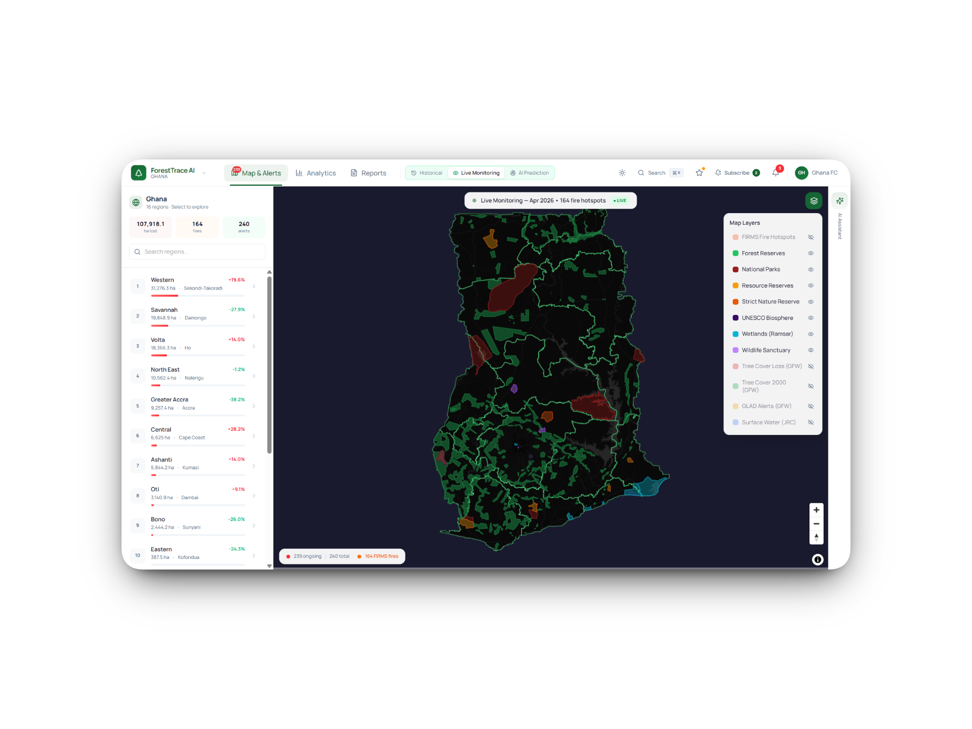
ForestTrace AI
An AI-assisted forest monitoring platform for faster environmental intelligence.
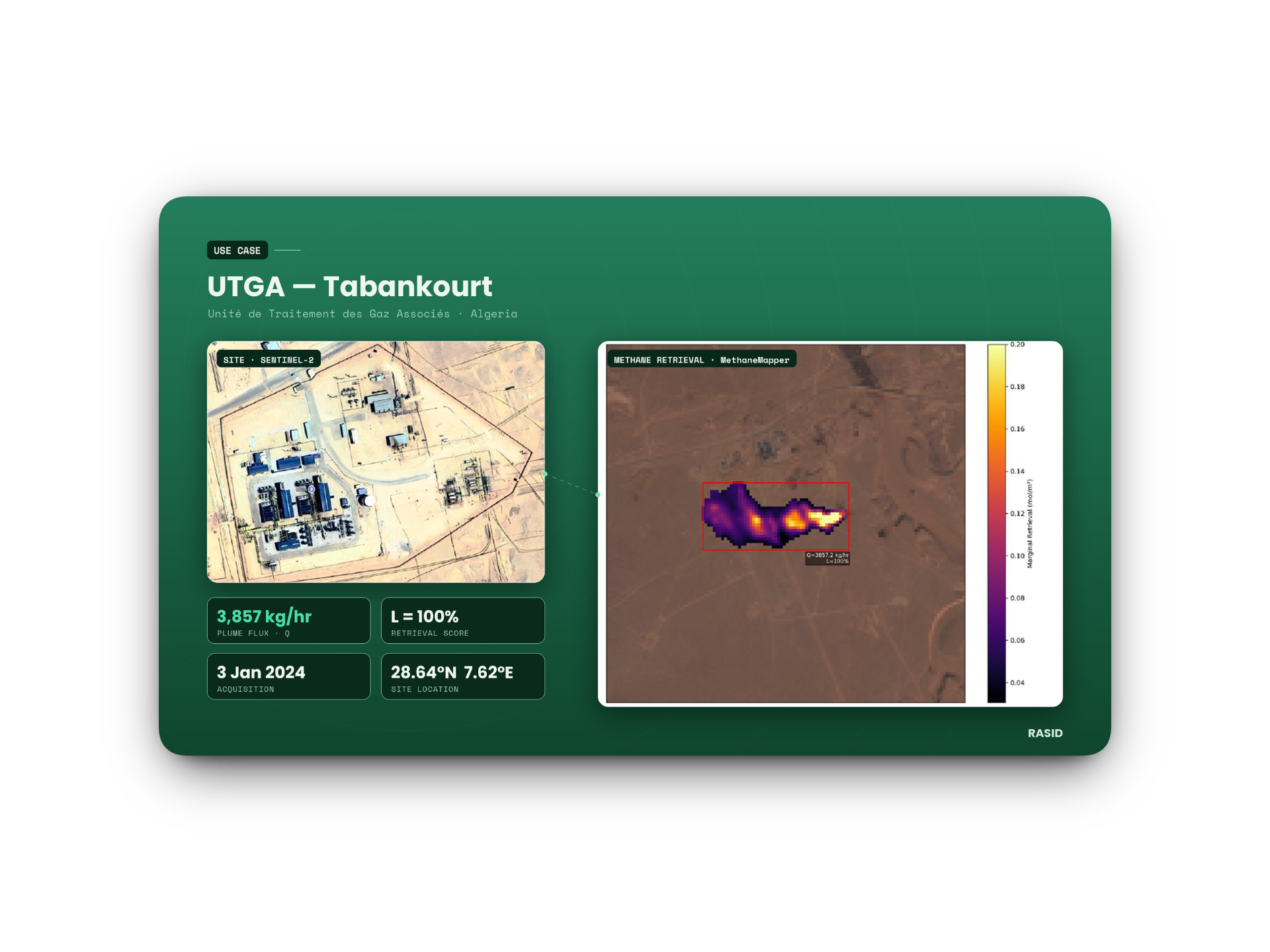
GoPilot
An agentic Earth observation platform for methane monitoring and beyond.
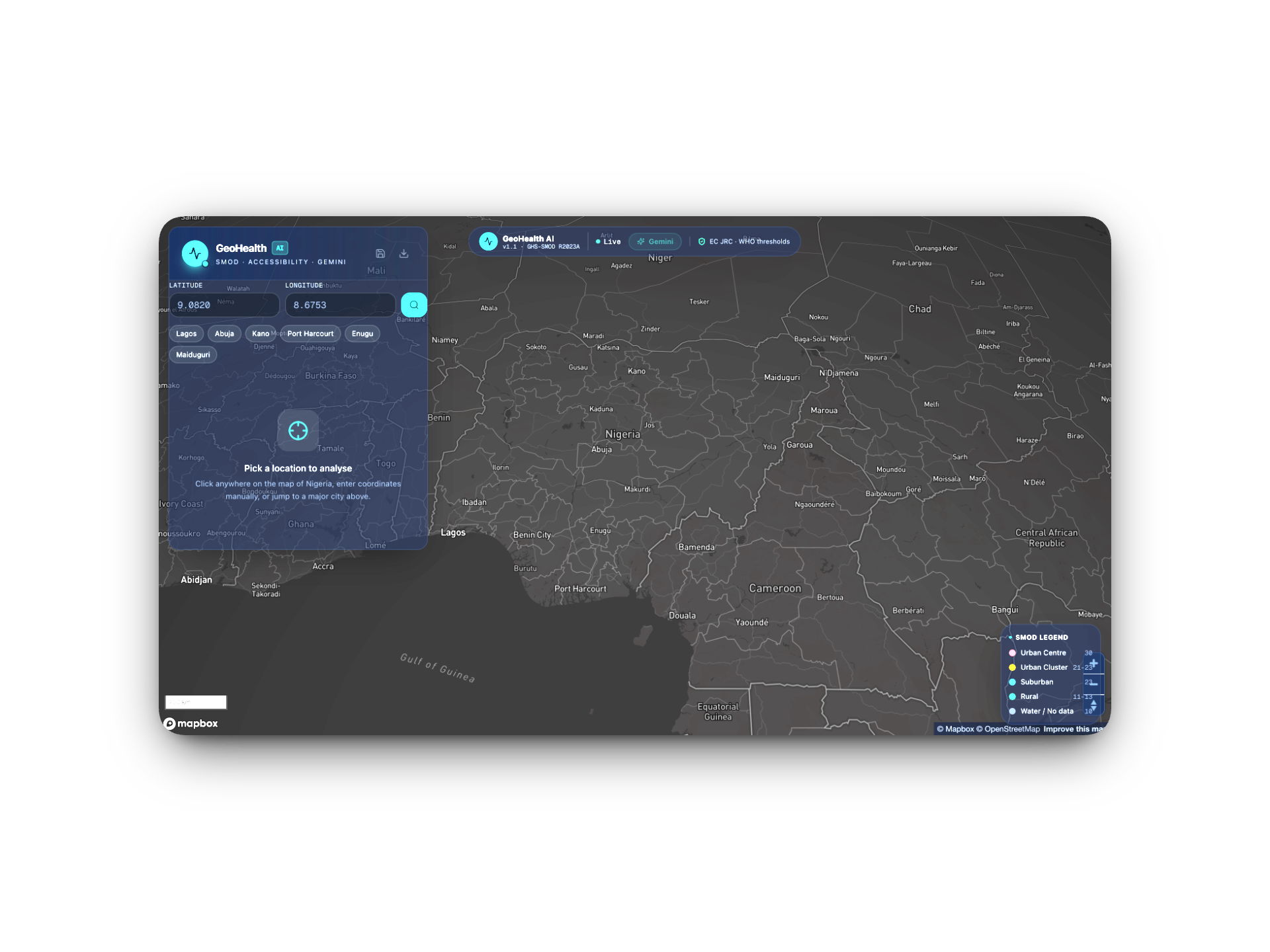
Project INSIGHT
Integrated national settlement intelligence for geographic health targeting.
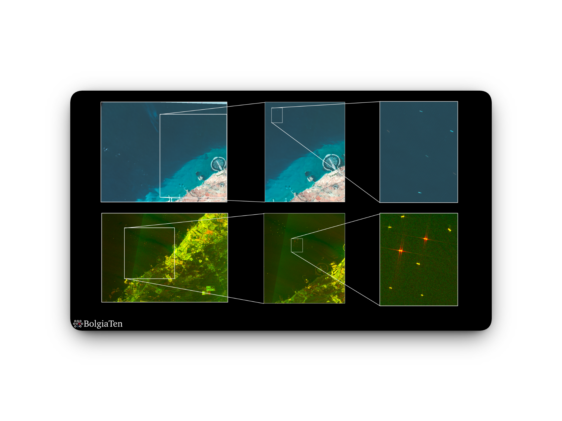
EO-VTI
A marine intelligence copilot for dark fleet risk.
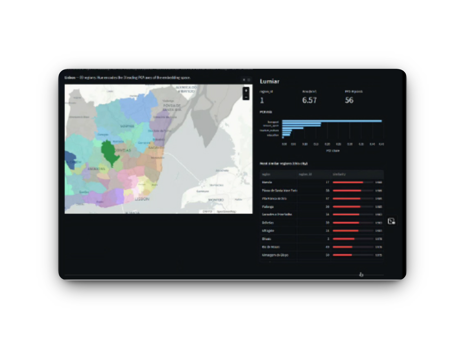
UrbanRegion
Multimodal pipeline for region-level urban intelligence.
Scene From Above · Season 16
A four-part Scene From Above series spotlighting winning teams and outcomes from the GenAI for Geospatial Challenge across Africa, the Middle East and Europe.
Host: Sabrina Szeto
Guest: Nana Akua Afra Owusu-Addo, BigData Ghana
Afra shares how ForestTrace AI uses generative AI to make forest and land-use intelligence clearer for policymakers, sustainability teams and local stakeholders.
Host: Julia Wagemann
Guest: Reda Haidar, RASID
Reda introduces GoPilot, an agentic Earth observation platform that lets users ask natural-language questions and generate geospatial workflows, including for methane monitoring.
Host: Scene From Above
Guest: Cormac Purcell, BolgiaTen
The episode explores how BolgiaTen is developing AI-enabled geospatial tools for maritime intelligence, including dark-vessel risk and decision-ready ocean monitoring.
Host: Scene From Above
Guests: Phil Cooper, AWS; Nadine Alameh, Lunate AI
A closing conversation reflecting on the Challenge, the report launch, the lessons emerging from the winning teams and what the results reveal about the future of generative AI in geospatial.
Challenge sponsors
The Generative AI for Geospatial Challenge – EMEA Edition brought together leading geospatial researchers and some of the largest geospatial data providers to push the boundaries of what was possible in making the planet’s data more accessible and searchable.
With the broadest and most comprehensive set of cloud services, AWS was at the forefront of this transformation, empowering customers to accelerate the development of highly scalable, cloud-native geospatial solutions.
The challenge was designed to inspire and support the development, commercialisation and scaling of innovative geospatial applications.

Challenge timeline
8 October 2025 – 22 July 2026
The challenge opened for proposals, inviting teams to develop bold ideas for generative AI and geospatial innovation.
01Submissions were reviewed by the jury and the selected winning teams were announced.
02The winning teams developed their ideas with AWS cloud credits, technical support and community learning sessions.
03The teams presented their prototypes through selected geospatial events and storytelling activities.
04Catch up on the launch webinar, meet the winning teams, and revisit the kickoff event that brought the GenAI for Geospatial Challenge to life.
Introductory webinar
A recording of the introductory webinar covering the challenge timeline, eligibility, selection criteria and available support.
Inside the winners
Explore the 14 winning teams selected across Africa, Europe and the Middle East, and the themes shaping their projects.
About the kickoff
A recap of the Royal Geographical Society kickoff event, including keynote presentations, expert panels and the formal challenge launch.
Subscribe to our monthly geospatial skill signal – with practical tools, workflows, and insights.
© 2026 thriveGEO GmbH | Imprint | Data Privacy