
Part 1: Inroduction to CNG key concepts
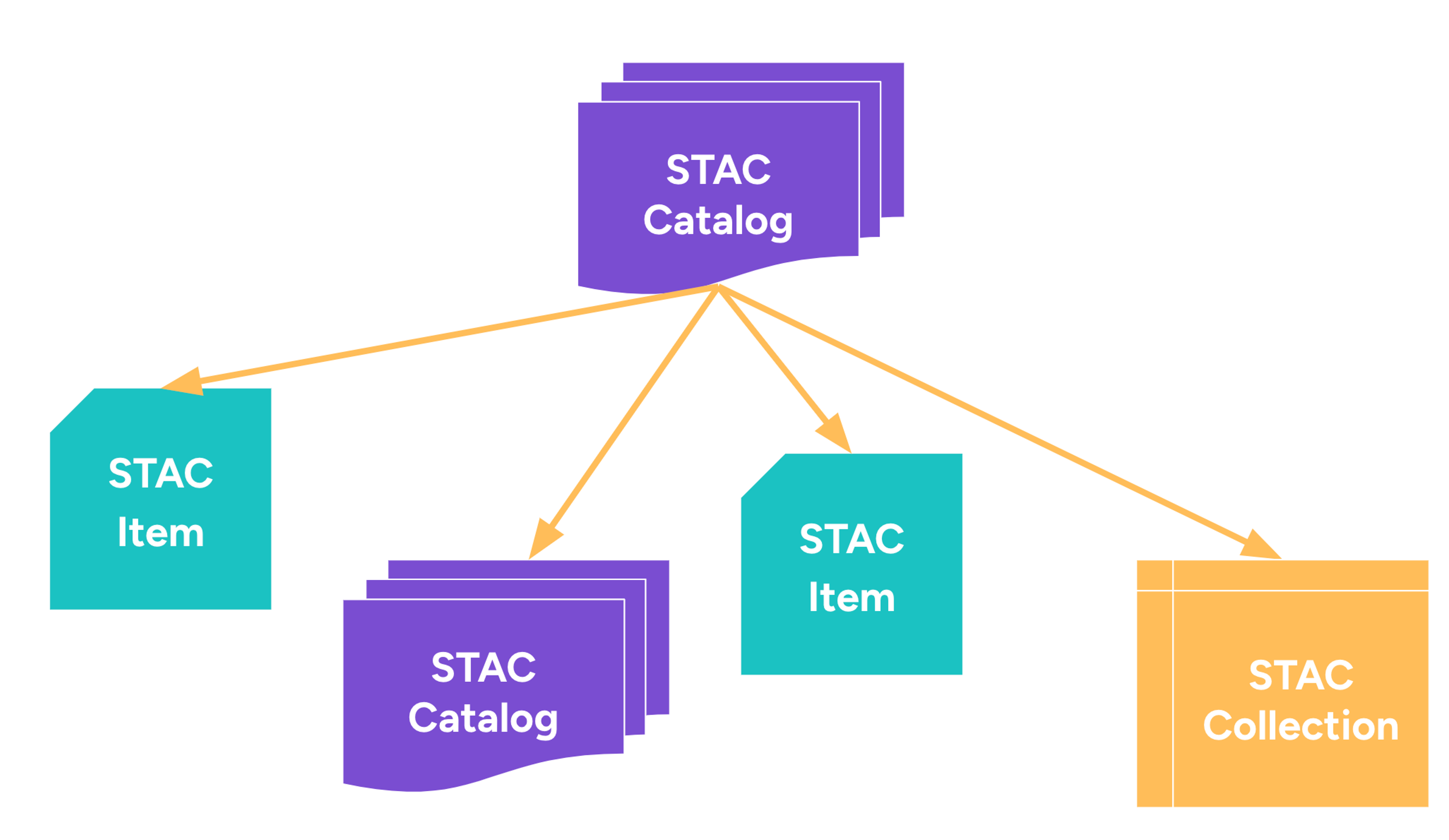
Part 2: Data discovery and STAC in Action
Part 1: Inroduction to CNG key concepts
Part 2: Data discovery and STAC in Action
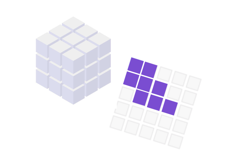
Part 1: Cloud-Optimized Formats for Raster data
Part 2: Cloud-Optimized Formats for Vector data
Learn how to parallelise and scale your workflows with xarray and Dask.
During the capstone project, you apply the skills you acquired and you work on your first cloud-native geospatial project.